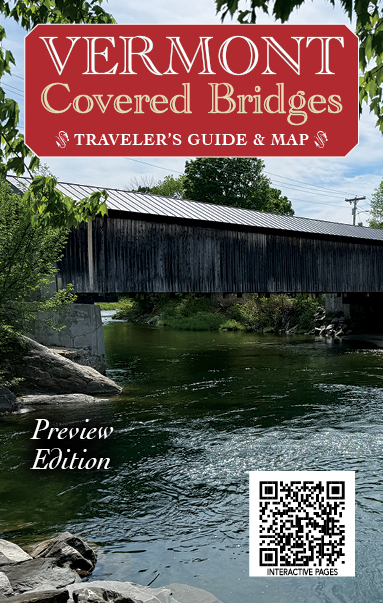
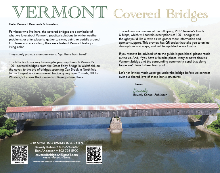
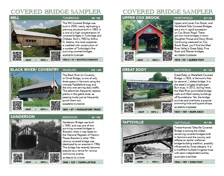
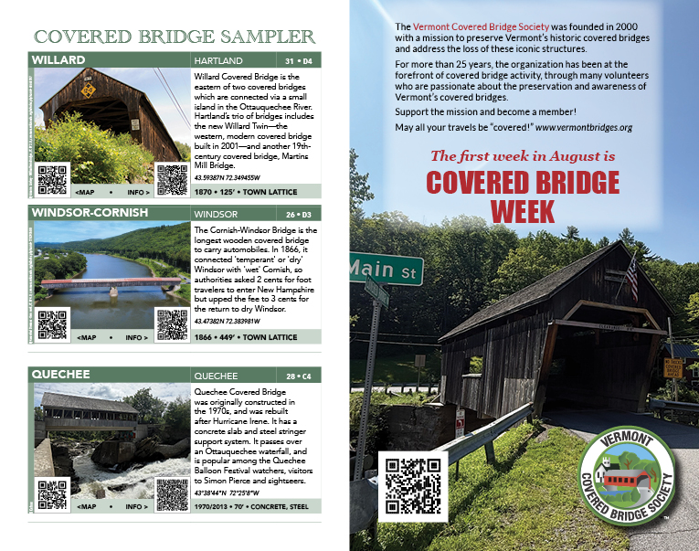
The Vermont Covered Bridge Traveler’s Guide & Map is published to celebrate the quintessential Vermont experience. The main distribution point is the Vermont Welcome Centers, which is often the first point of contact for our visitors.
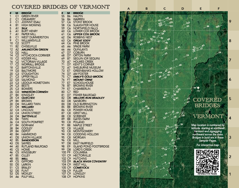
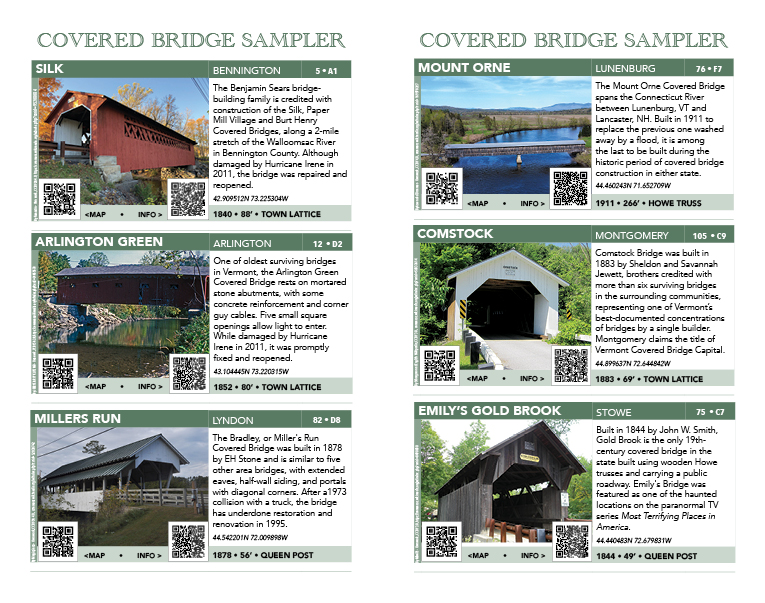
With a clear map, well-defined descriptions and QR codes for both more information and driving directions, this printed directory of the more than 100 covered bridges scattered throughout the state has a initial print run of 10,000, which we estimate to be fullly distributed by Spring 2027.
Projected preview date: is September 15, 2026 — just in time for the foliage season!
For more information, email us!
 coveredbridgesvt